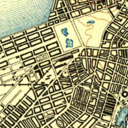
Interactive Maps made easy with TopoView from the USGS. Maps dating back to 1880 to present for United States. Check it Out. http://ngmdb.usgs.gov/maps/Topoview/
All Things Digital from West Los Angeles College and Beyond.
Interactive Maps made easy with TopoView from the USGS. Maps dating back to 1880 to present for United States. Check it Out. http://ngmdb.usgs.gov/maps/Topoview/
